Fortress of Valtellina
Fortifications of the RSI between Castello dell’Acqua and Teglio
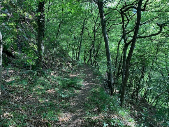
In the municipality of Castello dell’Acqua, immersed in the woods and hardly visible to the naked eye, there are still recognizable remains of the so-called Republican Alpine Redoubt, also known as Ridotto della Valtellina.
This is an unfinished military project, conceived by the fascist regime in 1944 as the last stronghold of the Italian Social Republic.
📜 Historical Notes
The project was formalized in September 1944 and entrusted by Mussolini to the party secretary Alessandro Pavolini.
The idea was to concentrate up to 50,000 men in Valtellina, with refuge, supplies, and ammunition to resist even after the potential collapse of the rest of the country.
Pavolini envisioned a symbolic and propagandistic bastion: it was even hypothesized to transfer the ashes of Dante Alighieri to Valtellina, create a printing house and a radio to broadcast messages “until the last breath.”
The initiative was never completed: many of the works remained in an embryonic state or partially realized. However, some structures are still visible.
🗺️ Where the Fortifications Are Located
The works are located in various strategic points between Castello dell’Acqua, San Giacomo di Teglio, and Teglio. There is no official signage: visiting requires the accompaniment of local people.
📍 Castello dell’Acqua
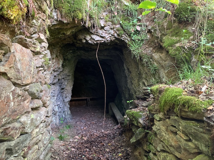
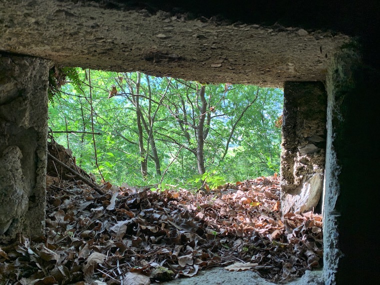
- Path to Bruga: from the first bend, a short walk leads to a cave-shelter carved into the rock.
- Anti-tank moat: still identifiable, with concrete parapets and remains of the five rows of railway tracks in the bed of the Adda.
- Casemates: at least two along the left bank of the Malgina stream.
- Machine gun positions and shelters in the locations: San Giovanni, Panaggia, San Rocco, Ravoledo, Corna.
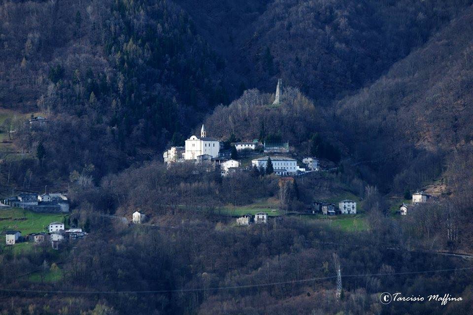
📍 San Giacomo di Teglio
- In the central area of the village, there are about thirty anti-tank mine holders.
- Near the height of the Adda river, anti-tank obstacles with rails embedded in the riverbed are still visible.
📍 Towards Aprica
- In the second tunnel of SS39, there are three gun positions, two of which likely lead to former warehouses.
- There is also a cannon position against tanks.
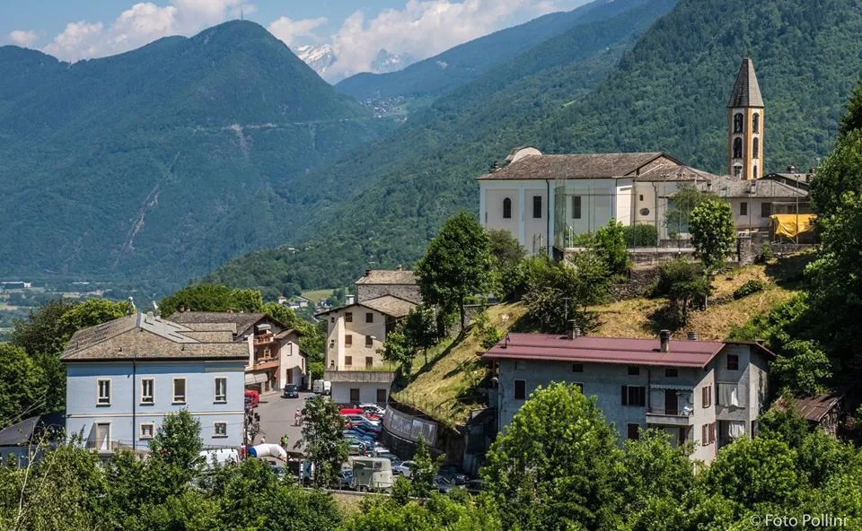
📍 Teglio
- Near a church, air raid shelters have been identified, one of which dates back to 1944.
🥾 Tips for the Visit
- The fortifications are not marked and are located in a wooded area.
- It is advisable to contact local experts or historical associations for possible guided excursions.
- Caution is required regarding the terrain and hiking footwear is necessary.
🔍 Why Visit the Redoubt
Visiting the sites of the Ridotto della Valtellina allows one to discover a little-known but significant page of 20th-century Italian history.
It is an opportunity to better understand the dynamics of the end of fascism and to explore natural areas of environmental value, today silent witnesses of projects that were never realized.
ℹ️ Useful Info
- Reference municipality: Castello dell’Acqua (SO)
- Access area: Contrada Bruga – Località San Giacomo – SP39 to Aprica
- Signage: absent
- Type of route: unmarked trails, wooded
- Difficulty: medium
🚗 How to Get There
- By car: from Sondrio to Teglio, then follow to Castello dell’Acqua – SP21.
- Parking: possible near the contrade, but the shelters are reachable only on foot.