A vast and varied park in the heart of the Lombard Alps
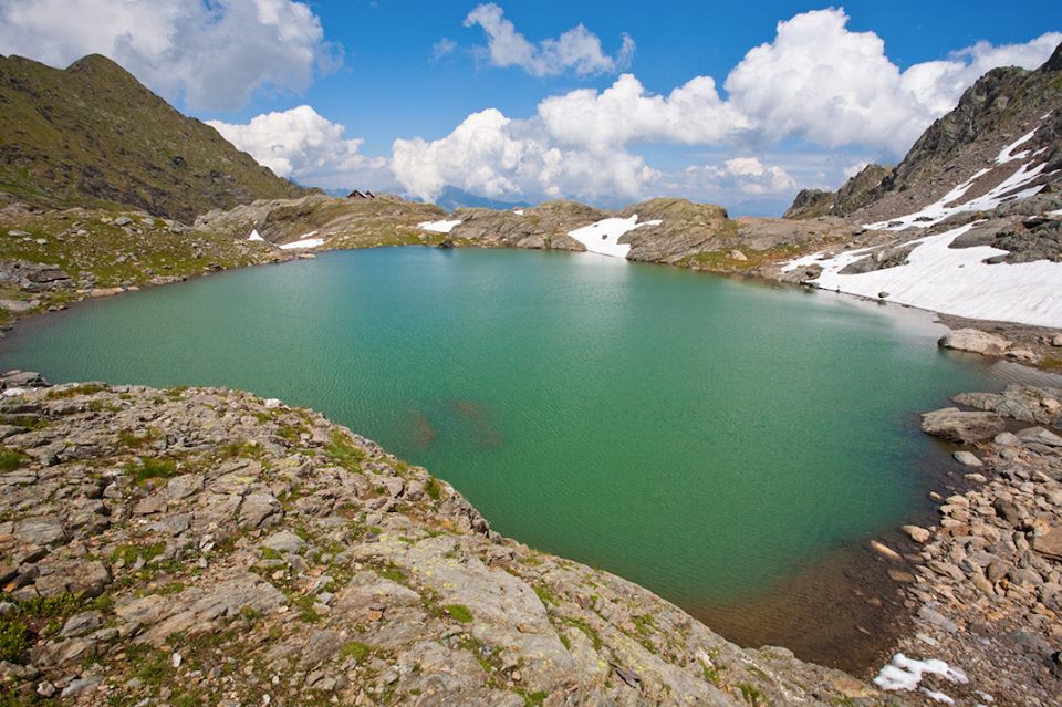
The Parco delle Orobie Valtellinesi extends along the northern side of the Orobie mountain range, between the side valleys of Valtellina and the Adda Valley, in the territory of the province of Sondrio. It is an area of great naturalistic and scenic value, stretching from the watershed of Monte Legnone (to the west) to the Aprica Pass (to the east), with altitudes that averagely vary between 1000 m and the highest peaks.
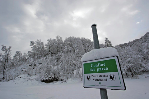
This is a protected area established in 1989, currently managed by the Consorzio Parco delle Orobie Valtellinesi based in Talamona.
📍 Where it is located
The park occupies the Valtellinese side of the Orobie, with access from various municipalities in the side valleys, such as:
- Val Gerola
- Val Tartano
- Val di Mello (a side valley of Val Masino)
- Val Madre – Val Caronella
- Val Belviso
- Val Bondone
The upper boundary coincides with the alpine watershed, while the lower boundary is about 1000 meters above sea level, where the forests and the first pastures begin.
🌿 A very rich natural heritage
The park is a true treasure trove of biodiversity. The cool climate and abundant rainfall favor lush and varied vegetation:
🌲 Forests
- Norway spruce (dominant species)
- Silver fir and beech in the western sector
- Larches and Swiss stone pines at higher altitudes
🌸 Alpine Flora
- High-altitude meadows dotted with rhododendrons, junipers, and alders
- Very rich summer blooms, with species such as saxifrages, Corydalis lutea, Ranunculus glacialis
🌼 Rare and protected species
- Sanguisorba dodecandra, endemic and abundant in the waterways of the eastern sector
- Viola comollia, a rarity that grows only on high-altitude gravel beds
🦌 Fauna
The park's environments host numerous wild animals, including:
- Ibex, chamois, roe deer
- Golden eagles, alpine choughs, pygmy owls
- Marmots, foxes, weasels
- Insects and amphibians linked to the humid high-altitude environments
🥾 Trails and excursions
The park is crisscrossed by a dense network of marked trails, many of which connect alpine shelters and high-altitude huts. The most well-known and frequented:
- Panoramic trail in Val Belviso
- Crossing of Val Gerola
- Loop of Val Tartano
- Rifugio Mambretti in Val Madre
- Alta Via delle Orobie Valtellinesi – multi-day hiking route, reserved for experienced walkers
📌 All trails are marked on the official maps available on the park's website or at the information offices of the involved municipalities.
🗓 When to go
The park is accessible all year round, but the best seasons for hiking and outdoor activities are:
- Spring: to observe alpine blooming
- Summer: for trekking, guided tours, and overnight stays in the shelters
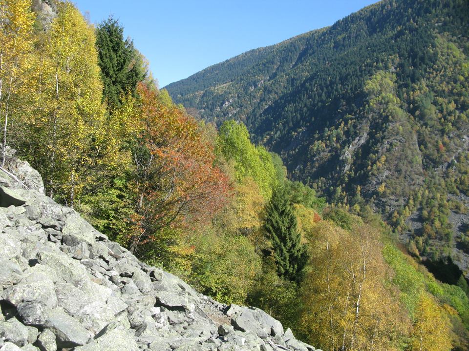
- Autumn: for the colors of the forests and wildlife spotting
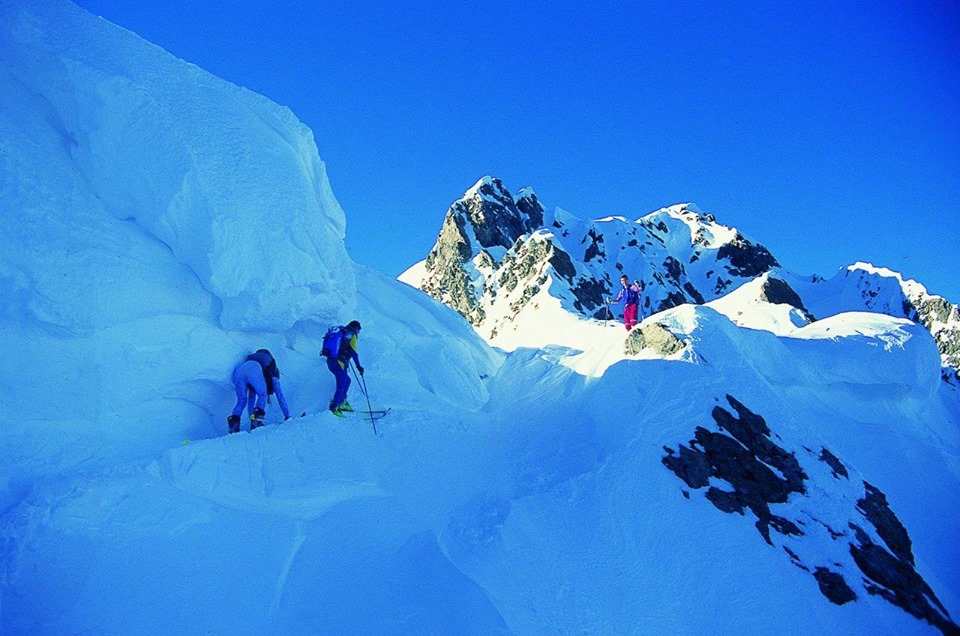
- Winter: snowshoeing and ski mountaineering in permitted areas
📞 Contacts and useful information
- 📍 Headquarters: Via Donatori di Sangue 1, 23018 Talamona (SO)
- ☎️ Phone: 0342 615089
- 📧 Email: info@parcorobie.it
- 🌐 Official site: www.areaparchi.it/parco-delle-orobie-valtellinesi
🗺 Maps, guides, and publications are available online or at the tourist information points of the involved municipalities.
🎯 Why visit it
The Parco delle Orobie Valtellinesi is perfect for:
- Hikers and climbers
- Lovers of alpine flora and nature photography
- Families seeking experiences in nature
- School groups or educational visits
It offers an unspoiled environment, rich in spectacular landscapes, rare species, working mountain pastures, and alpine shelters. An ideal place to rediscover the bond between man, mountain, and nature.